MK SurveysGEODESY & GEOSPATIALRequest a quote ↗

GEODESY · TOPOGRAPHY · GIS

Precision in the field.
Clarity in every project.

Reliable measurements, clear documentation and data that move your project forward. MK Surveys combines 15 years of field experience with a team of geodetic engineers for surveying, CAD and GIS — in Albania and through international collaboration.

SURVEYS IN ALBANIA · REMOTE CAD / GIS
GNSS / RTK
From measurement to modelGNSS / Total station / CAD / GIS
A glimpse of our work↗
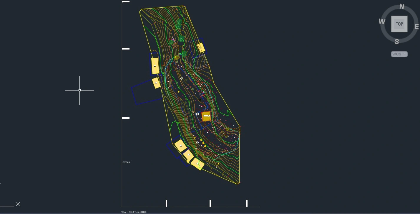
Terrain, levels & contours

Terrain, levels & contours

AI / VISUAL
15

Years of the principal’s experience

One team

Geodetic engineers

Tirana, AL

Our base · international collaboration

01 / SERVICES

From the field to
the digital model.

A technical partner from the initial survey to the final deliverable. We support design practices, construction companies, developers and property owners with field measurements, data processing and organised documentation. Every assignment starts with a clear objective and agreed outputs.

01

Topographic surveys

Planimetric and elevation surveys using GNSS/GPS and total stations. Survey plans with levels, terrain details and existing features. We plan the survey around its purpose and site conditions so the collected detail can directly support design.

GNSS / TOTAL STATIONExplore the service
02

Setting out & site support

Transferring designs to the field: axes, points and levels. Position checks and measurement records tailored to the project requirements. We coordinate design data with site conditions and document the points set out for clear communication with construction teams.

SETTING OUT / CHECKSExplore the service
03

Civil 3D & CAD processing

Survey processing, terrain surfaces, contours, profiles and technical drawings. Data organisation and preparation of deliverables. We organise layers, units and graphic presentation to make the material clear and usable for the receiving practice.

DWG / DXF / PDFExplore the service
04

GIS & georeferencing

Plan georeferencing, spatial data processing and geometry checks. Export in the agreed coordinate reference system and file format. We establish the spatial reference and relationships between sources, supporting mapping projects and integration with other platforms.

GIS / GEOJSON / KMLExplore the service
05

LiDAR processing

Processing client-supplied point clouds: cleaning, organisation, feature extraction and terrain products according to the available input data. Processing scope and final products are defined after reviewing point density, coverage and cloud structure. We do not provide LiDAR acquisition.

PROCESSING · NO LiDAR ACQUISITIONExplore the service
06

Floor plans & property documentation

Building and interior floor plans, boundary and area drawings, and technical documentation for subdivisions and cadastral procedures in Albania. Documentation is prepared for the agreed purpose, with a clear representation of surveyed areas and technical features.

FLOOR PLANS / DOCUMENTATIONExplore the service

FIELD SURVEY / CAD / SPATIAL DATA

Data ready to support
your next design step.

We primarily use AutoCAD Civil 3D and GIS software to turn measurements and source materials into data that support design. We agree the coordinate reference system, units, layers and formats so that deliverables fit your workflow. For remote collaboration, we review the structure and quality of client-supplied data before defining the work.

DWG / DXFPDFCSVGeoJSONKML / KMZLAS / LAZ
Final formats and products are agreed according to project scope and input data quality.
FROM FIELD SURVEY TO DESIGN

Understand the terrain.
Create clarity.

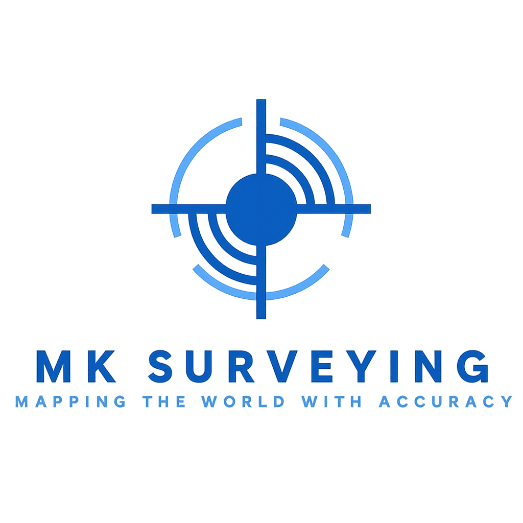
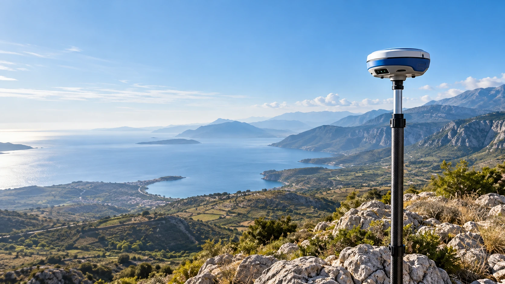
Mountain terrain, urban spaces and construction sites: the survey method adapts to the situation. GNSS and total stations support data collection, while CAD and GIS turn those measurements into an organised foundation for decisions and design.

Request a quote ↗

Instrument images are AI-generated illustrations. The portfolio shows the practice’s own materials.

02 / PROJECTS

Real work.
Details that speak.

Survey plans, contours, setting-out drawings and floor plans selected from the practice’s materials. Each image illustrates part of the process: field measurement, data organisation or technical representation. Select a drawing to explore the details.

01 / MK SURVEYS

Terrain, levels & contours

Processing a terrain survey and representing relief with contours, spot levels and existing features in a CAD environment.

02 / MK SURVEYS

Topographic survey

Field measurements and a plan of the terrain with existing features.

03 / MK SURVEYS

Setting-out plan & levels

Preparation of setting-out points, dimensions and elevation information.

04 / MK SURVEYS

Interior floor plan

Representation of internal spaces, their layout and dimensions.

05 / MK SURVEYS

Commercial premises floor plan

Graphic documentation of the layout of service premises.

06 / MK SURVEYS

Cadastral representation

Positioning a property and its features within a mapped context.

03 / ABOUT US

Field experience.
The flexibility of a team.

MK Surveys is a geodetic engineering practice registered three years ago in Tirana, built on the principal’s practical experience and a collaborative professional team. In-house staff and engineers working remotely from Albania coordinate around each project, combining an understanding of the field with technical CAD and GIS processing. For us, quality begins with understanding the brief and continues through data checks, drawing organisation and clear communication with the client.

DK

Denis Kaca

Principal · Geodetic engineer · Master’s in GIS

Denis Kaca, a geodetic engineer with a master’s degree in GIS, brings 15 years of experience in GPS/GNSS and total station surveys, setting out, planimetric and elevation surveys, and technical documentation. This experience connects the realities of the field with the designer’s needs, from data collection through to the survey plan and final digital product.

↗

A clear point of contact

Work coordinated by the practice, with defined objectives and deliverables.

↗

In-house & remote team

Geodetic engineers collaborating according to project needs.

↗

Collaboration across borders

Field surveys in Albania and remote CAD/GIS processing for clients in Italy, Switzerland and other markets.

A clear process, from enquiry to delivery.

01

Enquiry

We review your objectives, location and available materials.

02

Agreement

We define the scope, formats, timeline and quotation.

03

Execution

We survey or process the data, with technical checks.

04

Delivery

We provide the agreed outputs and clarify their use.

04 / CONTACT

Let’s start with
your project.

Every project starts differently: a property to survey, a construction site to set out, or data to process. Tell us the location, objectives, formats and preferred timeline. We will use these details to define the scope and prepare an appropriate quotation.

info@mksurveys.al ↗+355 67 20 71 658 ↗WhatsApp ↗
OFFICE

Rruga “Muhamet Deliu”, Tirana, Albania

NIPT: M51527009L

Tell us what you need

This form opens your email application with the completed enquiry. Complete sending there. You can also contact us directly on WhatsApp.

How contact details are used

MK Surveys (NIPT M51527009L), Rruga “Muhamet Deliu”, Tirana, uses the name, email and description you send to respond to your enquiry and discuss your project. In this version, the form prepares an email in your email application; data is not sent automatically by the website or stored on it. Messages sent by email or WhatsApp are also processed by those providers. Please do not include unnecessary personal data or sensitive documents in your initial enquiry. For questions or requests about your data, contact info@mksurveys.al. The website does not use traffic analytics or tracking cookies.